باوو-این-فورنس
| Barrow-in-Furness | |
|---|---|
 Clockwise from the upper left: Central Barrow with the skyline of بلکپول also visible, Barrow Island, Walney Bridge and Furness College, Furness Abbey, Ramsden Square, Dock Museum and DDH, Barrow Town Hall and St. Mary's Church | |
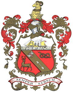
 Coat of arms of Barrow-in-Furness | |
| جمعیت | ۵۶٬۷۴۵ (2011 Census) |
| دمونیم | Barrovian |
| OS grid reference | SD198690 |
| • لندن | ۲۲۲ mi (۳۵۷ km) |
| District | |
| Shire county | |
| Region | |
| اؤلکه | England |
| موستقیل دوولت | United Kingdom |
| Post town | BARROW-IN-FURNESS |
| Postcode district | LA13, LA14 |
| تیلفون کودو | 01229 |
| Ambulance | North West |
| UK Parliament | |
باوو-این-فورنس (اینگیلیسیجه: Barrow-in-Furness) بریتانیادا بیر یاشاییش منطقهسیدیر سوْن نۆفوس تخمینلرینه گؤره 56745 نفر دیر. بۇ شهر اینگیلیس اؤلکهسینده یئرلشیب.
گؤرونتولر
[دَییشدیر]بیرده باخ
[دَییشدیر]قایناقلار
[دَییشدیر]| بو شهرلر ایله باغلی مقاله، بیر قارالاما مقاله دیر. بونو گئنیشلندیرمکله ویکیپدیایا کؤمک ائده بیلرسینیز. |


