Lee
Ang Lee ngalan niining mga mosunod:
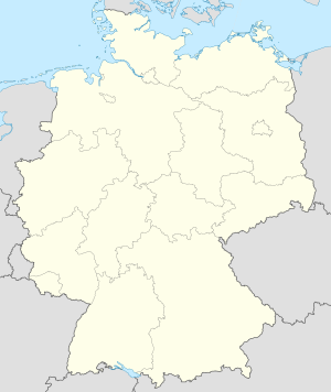
Alemanya
[usba | usba ang wikitext]Mga dapit nga gitawag Lee sa Alemanya.
- Lee (suba), Lower Saxony, 52°33′46″N 6°56′57″E / 52.56269°N 6.94929°E
Antarctica
[usba | usba ang wikitext]Mga dapit nga gitawag Lee sa Antarctica.
Tinipong Bansa
[usba | usba ang wikitext]Mga dapit nga gitawag Lee sa Tinipong Bansa.
- Lee (lungsod sa Tinipong Bansa, Florida), Madison County, 30°25′12″N 83°18′04″W / 30.41996°N 83.30113°W
- Lee (lungsod sa Tinipong Bansa, Illinois), Lee County, 41°47′42″N 88°56′29″W / 41.79503°N 88.94148°W
- Lee (lungsod sa Tinipong Bansa, Massachusetts), Berkshire County, 42°18′15″N 73°14′53″W / 42.30425°N 73.24816°W
- Lee (lungsod sa Tinipong Bansa, Maine), Penobscot County, 45°21′36″N 68°17′11″W / 45.36006°N 68.28641°W
- Lee (lungsod sa Tinipong Bansa, New Hampshire), Strafford County, 43°07′23″N 71°00′41″W / 43.12314°N 71.01145°W
Hiniusang Gingharian
[usba | usba ang wikitext]Mga dapit nga gitawag Lee sa Hiniusang Gingharian.
- The Lee (lungsod), Inglatera, Buckinghamshire, 51°43′51″N 0°42′00″W / 51.7307°N 0.70004°W
Kamerun
[usba | usba ang wikitext]Mga dapit nga gitawag Lee sa Kamerun.
- Léé, suba, East Region, 3°24′N 12°42′E / 3.4°N 12.7°E
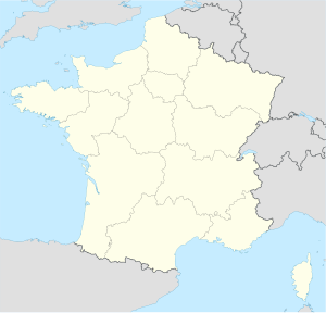
Pransiya
[usba | usba ang wikitext]Mga dapit nga gitawag Lee sa Pransiya.
- Lée (lungsod), Aquitaine, Département des Pyrénées-Atlantiques, 43°17′00″N 0°17′00″W / 43.28333°N 0.28333°W
- Lée (munisipyo), Aquitaine, Département des Pyrénées-Atlantiques, 43°17′15″N 0°17′31″W / 43.2875°N 0.29194°W


