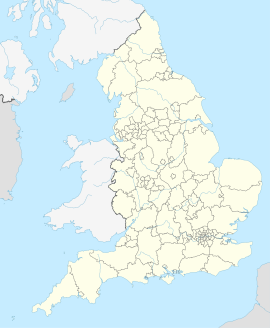
Normanton (West Yorkshire)
| Normanton | ||
|---|---|---|
 | ||
| Staat: | ||
| Koordinaten | 53° 42′ N, 1° 25′ W | |
|
| ||
| Traditionelle Grafschaft | Yorkshire | |
| Einwohner | 19.949 (Stand: 2001) | |
| Verwaltung | ||
| Post town | NORMANTON | |
| Postleitzahlenabschnitt | WF6 | |
| Vorwahl | 01924 | |
| Landesteil | England | |
| Region | Yorkshire and the Humber | |
| Shire county | West Yorkshire | |
| District | City of Wakefield | |
| Britisches Parlament | Normanton, Pontefract and Castleford | |
Normanton ist eine Kleinstadt im Borough City of Wakefield der englischen Grafschaft West Yorkshire. Sie hatte 2001 gemäß Volkszählung insgesamt 19.949 Einwohner.[1]
Söhne der Stadt
[Bearbeiten | Quelltext bearbeiten]- Martin Frobisher (1535–1594), Seefahrer
- Jimmy Glazzard (1923–1995), Fußballspieler
- Keith Ripley (1935–2012), Fußballspieler
- Peter Deakin (* 1938), Fußballspieler
Weblinks
[Bearbeiten | Quelltext bearbeiten]Commons: Normanton – Sammlung von Bildern, Videos und Audiodateien
Einzelnachweise
[Bearbeiten | Quelltext bearbeiten]- ↑ Office for National Statistics : Census 2001 : Parish Headcounts : Wakefield ( des vom 13. Juni 2011 im Internet Archive) Info: Der Archivlink wurde automatisch eingesetzt und noch nicht geprüft. Bitte prüfe Original- und Archivlink gemäß Anleitung und entferne dann diesen Hinweis. Abgelesen am 11. September 2009
