Aagtekerke
| Aagtekerke | |
 Héraldique |
|
 Église de Aagtekerke | |
| Administration | |
|---|---|
| Pays | |
| Commune | Veere |
| Province | Zélande |
| Code postal | 4363 |
| Indicatif téléphonique international | +(31) |
| Démographie | |
| Population | 1 476 hab. (2007) |
| Géographie | |
| Coordonnées | 51° 32′ 47″ nord, 3° 30′ 34″ est |
| Localisation | |
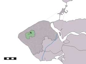
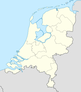
 Localisation de Aagtekerke dans la commune de Veere | |
| modifier |
|
Aagtekerke est un village appartenant à la commune néerlandaise de Veere, situé dans la province de la Zélande. Le , le village comptait 1 476 habitants. Il est situé sur Walcheren.
Aagtekerke était une commune indépendante jusqu'au . À cette date, Grijpskerke et Meliskerke fusionnent et forment la nouvelle commune de Mariekerke.

Liens externes
[modifier | modifier le code]


