Bennebroek
| Bennebroek | |||
 Héraldique |
 Drapeau |
||
| Administration | |||
|---|---|---|---|
| Pays | |||
| Province | Hollande-Septentrionale | ||
| Code postal | 2120, 2121 | ||
| Démographie | |||
| Population | 5 162 hab. (2007) | ||
| Densité | 2 884 hab./km2 | ||
| Géographie | |||
| Coordonnées | 52° 19′ nord, 4° 36′ est | ||
| Superficie | 179 ha = 1,79 km2 | ||
| - terre | 1,75 km2 | ||
| - eau | 0,04 km2 | ||
| Histoire | |||
| Formation | avant 1800 | ||
| Fusionnée dans | Bloemendaal (2009) | ||
| Localisation | |||
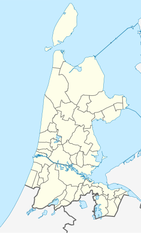
 Carte de localisation de l'ancienne commune. | |||
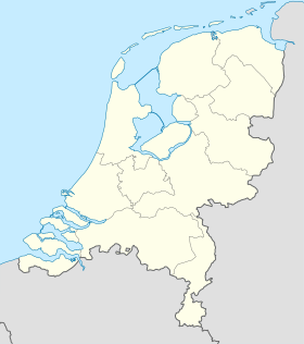
| Géolocalisation sur la carte : Pays-Bas
Géolocalisation sur la carte : Hollande-Septentrionale
| |||
| modifier |
|||
BennebroekÉcouter est un village et une ancienne commune néerlandaise, situé dans la province de Hollande-Septentrionale. Le , Bennebroek est rattaché à Bloemendaal.
Notes et références
[modifier | modifier le code]Lien externe
[modifier | modifier le code](nl) Site officiel

