Bladbean
| Bladbean | ||
 Ferme à Bladbean | ||
| Administration | ||
|---|---|---|
| Pays | ||
| Nation | ||
| Région | Sud-Est | |
| Comté | Kent | |
| District | Folkestone and Hythe | |
| Paroisse civile | Stelling Minnis | |
| Force de police | Kent | |
| Incendie | Kent | |
| Ambulance | Côte Sud-Est | |
| Code postal | CT4 | |
| Géographie | ||
| Coordonnées | 51° 10,48′ nord, 1° 07,12′ est | |
| Localisation | ||
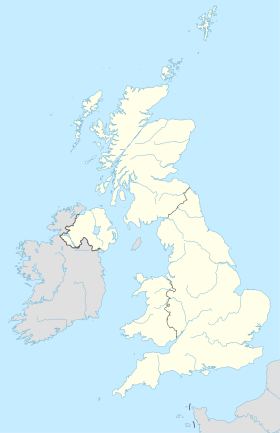
| Géolocalisation sur la carte : Royaume-Uni
| ||
| modifier |
||
Bladbean est un hameau dispersées entre Canterbury et Folkestone dans le Kent. Il se situe le long d'une route secondaire est de Stelling Minnis.
Communes Limitrophes
[modifier | modifier le code]
|
Upper Hardres | Bishopsbourne | Breach | 
|
| Stelling Minnis | N | Wingmore | ||
| O Bladbean E | ||||
| S | ||||
| Rhodes Minnis | Elham, Ottinge |
Swingfield Minnis |

