Dantewada
| Dantewada | |||||
| Administration | |||||
|---|---|---|---|---|---|
| Pays | |||||
| État ou territoire | Chhattisgarh | ||||
| District | District de Dantewada | ||||
| Index postal | 494449 | ||||
| Fuseau horaire | IST (UTC+05:30) | ||||
| Indicatif | 7856 | ||||
| Démographie | |||||
| Population | 13 633 hab. (2011) | ||||
| Géographie | |||||
| Coordonnées | 18° 54′ nord, 81° 21′ est | ||||
| Altitude | 351 m |
||||
| Localisation | |||||
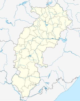
| Géolocalisation sur la carte : Inde
Géolocalisation sur la carte : Inde
Géolocalisation sur la carte : Chhattisgarh
Géolocalisation sur la carte : Chhattisgarh
| |||||
| modifier |
|||||
Dantewada est une ville indienne située dans le district de Dantewada dans l’État du Chhattisgarh. En 2011, sa population était de 13 633 habitants.
Source de la traduction
[modifier | modifier le code]- (en) Cet article est partiellement ou en totalité issu de l’article de Wikipédia en anglais intitulé « Dantewada » (voir la liste des auteurs).


