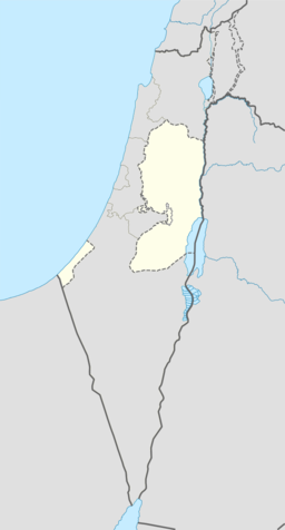
Khirbat al-Simia
| Khirbat al-Simia | |||
| خربة السيميا, As-Simiya | |||
| kommune | |||
| Land | |||
|---|---|---|---|
| Guvernement | Hebron guvernement | ||
| Koordinatar | 31°25′18.06″N 35°02′01.30″E / 31.4216833°N 35.0336944°E | ||
| Folketal | 1 705 (2006) | ||
 Khirbat al-Simia 31°25′18″N 35°02′01″E / 31.421683333333°N 35.033694444444°E | |||
| Wikimedia Commons: Khirbat al-Simia | |||
Khirbat al-Simia (arabisk خربة السيميا) er ein palestinsk landsby som ligg fire kilometer nordvest for As-Samu. Landsbyen ligg i Hebron guvernement sør på Vestbreidda. I følgje Palestinsk statistisk sentralbyrå hadde landsbyen eit folketal på 1 705 i 2006.[1]
Kjelder
[endre | endre wikiteksten]- Denne artikkelen bygger på «Khirbat al-Simia» frå Wikipedia på engelsk, den 28. september 2015.
- Wikipedia på engelsk oppgav desse kjeldene:
- Conder, Claude Reignier; Kitchener, H. H. (1883). The Survey of Western Palestine: Memoirs of the Topography, Orography, Hydrography, and Archeology 3. London: Committee of the Palestine Exploration Fund. (s. 313, 378-9)
- Guérin, Victor (1869). Description Géographique Historique et Archéologique de la Palestine (på fransk). 1: Judee, pt. 3. Paris: L'Imprimerie Nationale.
- Hütteroth, Wolf-Dieter; Abdulfattah, Kamal (1977). Historical Geography of Palestine, Transjordan and South Syria in the Late 16th Century. Erlanger Geographische Arbeiten, Sonderband 5. Erlangen, Tyskland: Vorstand der Fränkischen Geographischen Gesellschaft. ISBN 3-920405-41-2. (p. 123)
- Mills, E., red. (1932). Census of Palestine 1931. Population of Villages, Towns and Administrative Areas (PDF). Jerusalem: Government of Palestine. (p. 33: Kh. Simia counted under As-Samu)
- Palmer, E. H. (1881). The Survey of Western Palestine: Arabic and English Name Lists Collected During the Survey by Lieutenants Conder og Kitchener, R. E. Transliterated and Explained by E.H. Palmer. Committee of the Palestine Exploration Fund. (p. 408)


