Hardenberg (Overijssel)
| Hardenberg | ||||
 Armoiries. |
 Drapeau. |
|||
 De Stephanuskerk. | ||||
| Administration | ||||
|---|---|---|---|---|
| Pays | ||||
| Province | ||||
| Bourgmestre | Peter Snijders (VVD) | |||
| Code postal | 7690-7704, 7707, 7770-7799 | |||
| Indicatif téléphonique international | +(31) | |||
| Démographie | ||||
| Population | 58 006 hab. | |||
| Densité | 183 hab./km2 | |||
| Géographie | ||||
| Coordonnées | 52° 34′ 00″ nord, 6° 36′ 00″ est | |||
| Superficie | 31 724 ha = 317,24 km2 | |||
| Localisation | ||||

| ||||
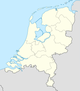
| Géolocalisation sur la carte : Pays-Bas
Géolocalisation sur la carte : Pays-Bas
Géolocalisation sur la carte : Overijssel
| ||||
| Liens | ||||
| Site web | www.hardenberg.nl | |||
| modifier |
||||
Hardenberg est une commune néerlandaise, située en province d'Overijssel et comptant environ 58 000 habitants.
Histoire
[modifier | modifier le code]
Entre 1818 et 1941, la commune de Hardenberg a été scindée en deux : la ville (commune de Stad Hardenberg) et la campagne environnante (commune d'Ambt Hardenberg. En 2001, les communes de Gramsbergen et Avereest furent rattachées à Hardenberg.
Galerie
[modifier | modifier le code]-
Hardenberg, l'hôtel de ville
-
Gramsbergen, l'église (protestante) sur la rue
-
Bergentheim, le pont basculant: le Wiekebrugge
-
De Haandrik, l'écluse Sluis De Haandrik
Liens externes
[modifier | modifier le code]


