Taber (district municipal)
| Taber | ||
| Administration | ||
|---|---|---|
| Pays | ||
| Province | ||
| Région | Alberta du Sud | |
| Maire | Brian Brewin | |
| Constitution | 1954 | |
| Démographie | ||
| Population | 6 851 hab.[1] (2011) | |
| Densité | 1,6 hab./km2 | |
| Code géographique | 4802021 | |
| Géographie | ||
| Coordonnées | 49° 47′ 05″ nord, 112° 09′ 03″ ouest | |
| Superficie | 420 379 ha = 4 203,79 km2 | |
| Divers | ||
| Fuseau horaire | UTC-7 | |
| Localisation | ||
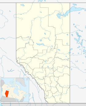
| Géolocalisation sur la carte : Alberta
| ||
| Liens | ||
| Site web | http://www.mdtaber.ab.ca | |
| modifier |
||
Le district municipal de Taber (anglais : Taber) est un district municipal de 6,851 habitants en 2011[1], situé dans la province d'Alberta, au Canada.
Communautés et localités
[modifier | modifier le code]- Villages
- Hameaux
- Localités
- Antonio
- Armelgra
- Barney
- Cranford
- Elcan
- Fincastle
- Grantham
- Retlaw
- Scope
- Autres
- Askow
Démographie
[modifier | modifier le code]
Références
[modifier | modifier le code]- (en) Cet article est partiellement ou en totalité issu de l’article de Wikipédia en anglais intitulé « Taber, Alberta (municipal district) » (voir la liste des auteurs).
- « Profils des communautés de 2011 », Chiffres de population et des logements, Canada, provinces et territoires, et subdivisions de recensement (municipalités), recensements de 2011 et 2006, sur Statistique Canada (consulté le )
- « Statistique Canada - Profils des communautés de 2006 - Taber, MD » (consulté le )
- « Statistique Canada - Profils des communautés de 2016 - Taber, MD » (consulté le )

