Itapecerica da Serra
| Itapecerica da Serra Surnom : Pedra Lisa | ||||
 Héraldique |
 |
|||
 Vue de Itapecerica da Serra | ||||
| Administration | ||||
|---|---|---|---|---|
| Pays | ||||
| Région | Sud-Est | |||
| État | ||||
| Langue(s) | portugais | |||
| Maire | Jorge José da Costa (PMDB) | |||
| Fuseau horaireHeure d'été | UTC-3UTC-4 | |||
| Indicatif | 11 | |||
| Démographie | ||||
| Gentilé | itapecericano | |||
| Population | 161 983 hab.[1] (04/2009) | |||
| Densité | 1 069 hab./km2 | |||
| Population de l'agglomération | 21 140 573 hab. | |||
| Géographie | ||||
| Coordonnées | 23° 25′ 48″ sud, 46° 30′ 20″ ouest | |||
| Altitude | 920 m |
|||
| Superficie | 15 145,8 ha = 151,458 km2 | |||
| Divers | ||||
| Date de fondation | ||||
| Localisation | ||||
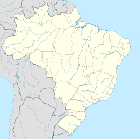
| Géolocalisation sur la carte : Brésil
Géolocalisation sur la carte : Brésil
Géolocalisation sur la carte : État de São Paulo
| ||||
| Liens | ||||
| Site web | http://www.itapecerica.sp.gov.br/ | |||
| modifier |
||||
Itapecerica da Serra est une ville brésilienne de l'État de São Paulo. Sa population était estimée à 162 239 habitants en 2006. La municipalité s'étend sur 151 km2.


